
The Missouri, North America’s longest river, meanders from its headwaters in Montana and through the Dakotas, borders Nebraska and Kansas to the east, and Iowa and Missouri to the west, before crossing the “Show Me” State and joining the Mississippi just north of St. Louis. Although it became an important commercial waterway as the U.S. expanded westward during the second half of the 19th century, the river remained treacherous going for steamboats of the era.
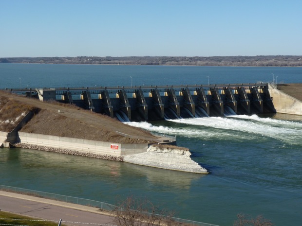
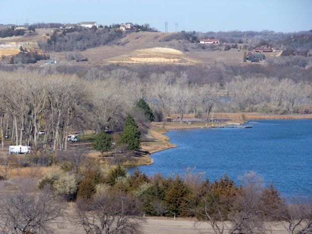
However, after a series of particularly devastating floods in the early 1940s, Congress passed the Flood Control Act of 1944, a provision of which eventually resulted in six dams being built, massive reservoirs being filled and the end of regular seasonal flood destruction. But there are still two historic, free-flowing stretches of the Missouri along the Nebraska/South Dakota border that were preserved by Congress in 1978 and 1991 as the Missouri National Recreational River. The 39-Mile-District, downstream from Fort Randall Dam as far as Running Water (SD), offers visitor centers at both the dam itself and Niobrara State Park (NE), while the 59-Mile District, downstream from the Gavins Point Dam to Ponca State Park (NE), has a visitor center in the state park, as well as the major Lewis and Clark Visitor Center at the dam.
In addition to splendid views of the river and Gavins Point Dam, the latter facility has numerous exhibits, a video theatre and a bookstore. Both districts offer a wealth of opportunities for water sports, fishing, hiking and picnicking.
Park facilities along the Missouri River
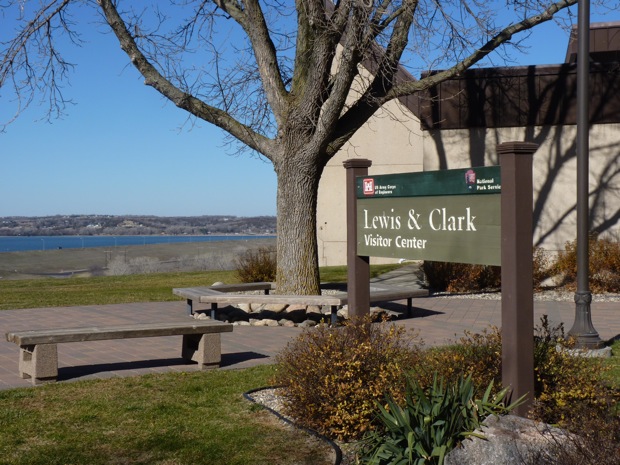
Lewis and Clark Visitor Center
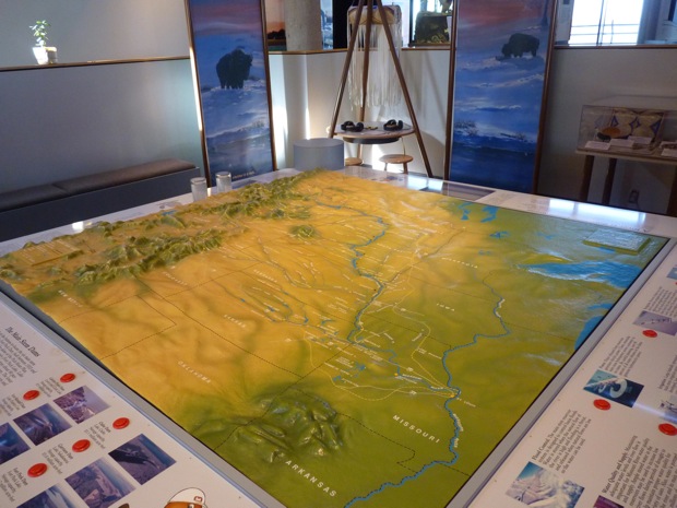
Missouri River model in the Lewis and Clark Visitor Center